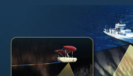
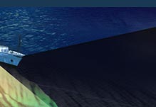
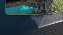
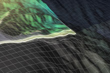
Although understanding the landscape of the ocean floor is extremely important, until recently it has been difficult to make topographic (or bathymetric) maps that are high enough in resolution to be useful to scientists studying many of the features on the seafloor. Questions concerning how our planet works commonly require different scales of maps—from those that cover the entire seafloor of the Mid-Atlantic Ocean, to those that image an individual hydrothermal chimney. On this cruise we will use mapping systems mounted on the hull of the R/VAtlantis and within the body of ABE to map the seafloor at 25 m to < 2 m resolution.
A surprisingly small fraction of the ocean has been mapped in detail (10%)-we know more about the detailed topography of Mars than we do about the shape of the ocean floor. One of the exciting challenges ahead will be to use new advances in technology to obtain higher resolution images of the seafloor and our planet. Such maps are extremely important in understanding how mountains are formed, how the tectonic plates split apart, and in the hunt for new and different kinds of submarine hydrothermal systems.
During this cruise we will use ABE to hunt for new Lost Cities beneath the surface of the ocean.