ABE Bathymetry of Lost City

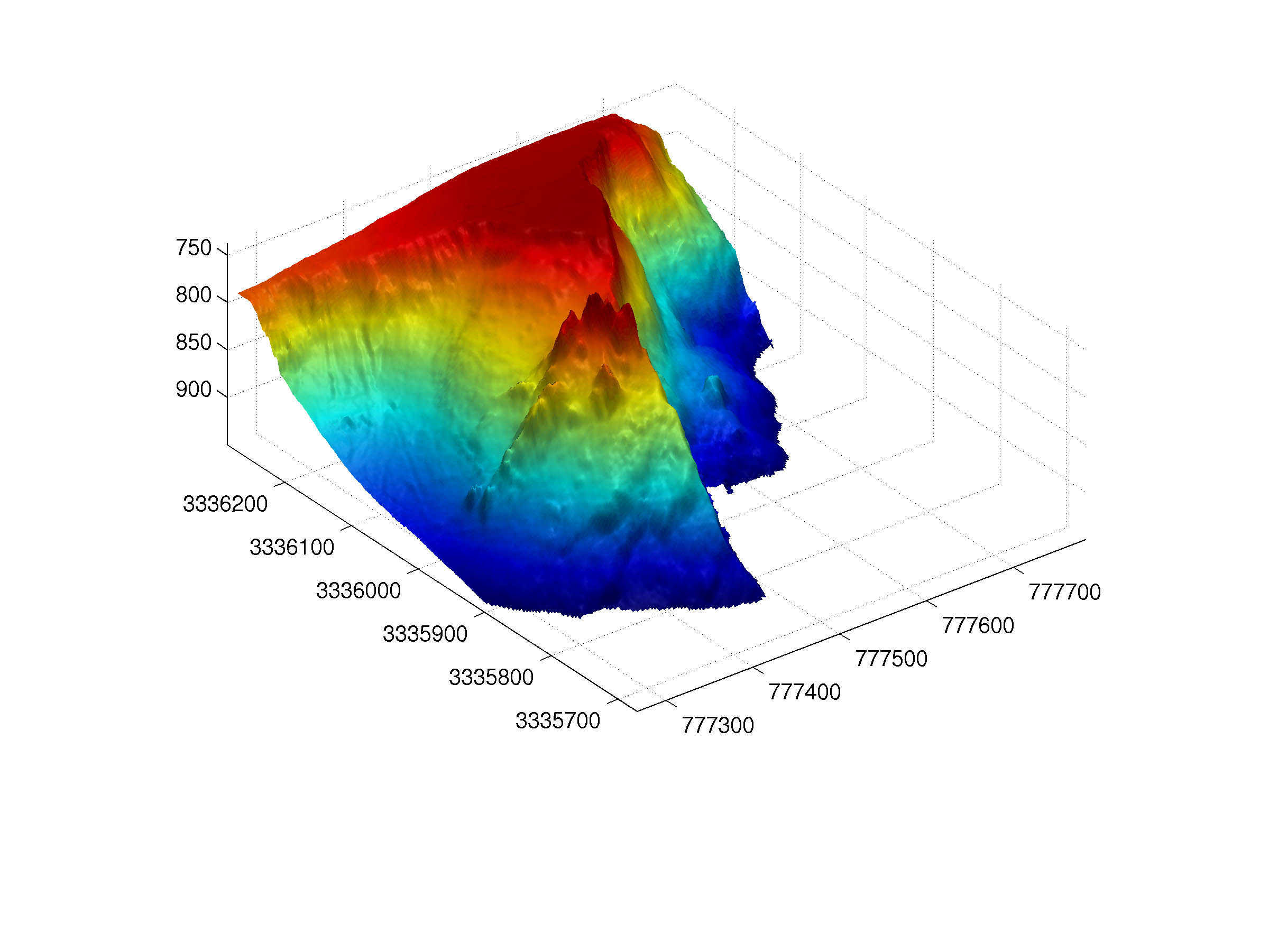
In 2003, the autonomous vehicle ABE flew 17 missions over the Atlantis Massif and Lost CIty. This image shows the flat-topped summit of the Atlantis Massif and carbonate towers that make up the Lost CIty Hydrothermal Field. The 60 m tall, complex Poseidon edifice comprises the core of the field. Bathymetric data were collected using a SM2000 sonar in a downward- and side-looking position. Dr. Dana Yoerger at Woods Hole Oceanographic Institution lead the ABE team and its development.

For commercial use or higher resolution please contact Debbie Kelley